Adding Data
![]() Updated
by
PolicyMap
Updated
by
PolicyMap
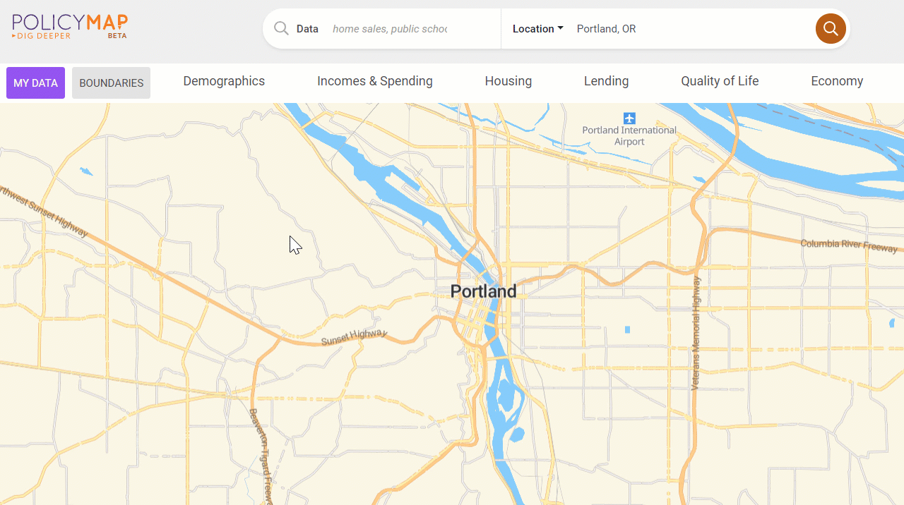
Data can be accessed from the categories above the map. To add data, select a category, navigate the menu or sub-menu, and select the data layer. Alternatively, use the Search Data tool to find data by keyword(s).
Learn more about the available data on PolicyMap at the Data Category page.
The data menus contain three types of data: Boundaries, Data Layers, and Data Points.
- Data Layers
 Indicators shown as thematic or choropleth maps; areas shaded in a darker color represent the higher amount or percentage, and areas in a lighter shade are the opposite end of the range.
 - Data Points
 Point or address level datasets, displaying icons for each location. Point datasets will have unique filtering and coloring coding options.
 - Boundaries
 Display the borders for geographies like zip code, counties, cities or others. Users can remove the geography labels or custom the color, width, and line types.