Radius Region
![]() Updated
by
PolicyMap
Updated
by
PolicyMap
Use the Radius region to create a radius boundary around a given address or point on the map.
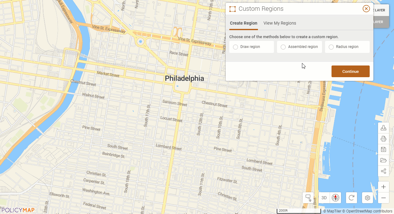
After choosing Radius Custom Region and selecting Continue (read the instructions for details), you can enter an address or coordinates in the “Center of Radius” field, specify the size of your radius and select the magnifying glass  .
.
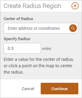 | Another unique option is to specify the size of the radius first, and then click on the map to identify the center (you will see the latitude and longitude appear in the Center of Radius box). This will draw a radius around the location selected on the map. The radius can be changed at any time by using the up/down icon |
 or simply entering a new value in the field.
Select Continue to save, give your radius a name and description and select Save Custom Region. All saved custom regions will be available in the View My Regions menu.