Custom Region: Assembled Custom Regions Rules
![]() Updated
by
PolicyMap
Updated
by
PolicyMap
Assembled custom regions allow a user to create new boundaries using existing boundaries as the base.
Geography by Assembled Custom Region: The geography that was used to assemble a custom region will be the default geography used to aggregate the data. For example, if you assemble a custom region by blockgroups, then the default geography used in reports are blockgroups.
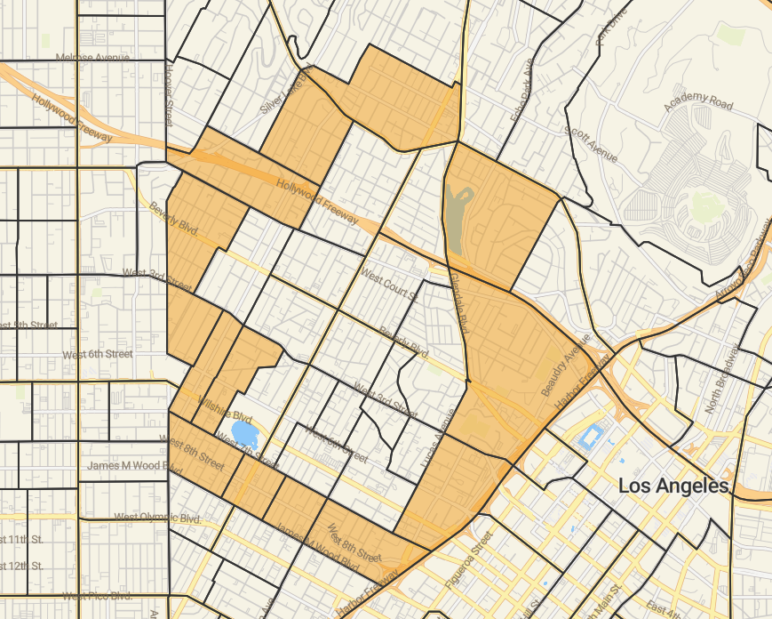
Donuts in Assembled Custom Regions: When assembling a custom region by selecting the geographies around an area, PolicyMap will automatically fill in the middle of the “donut” when saved, but will only use the geographies selected to aggregate. PolicyMap will not include the geographies in the middle of the “donut”, even though the shaded area is filled in. In the example, the highlighted area will only be used in aggregation but the custom region will “fill in” the area inside the donut when saved.
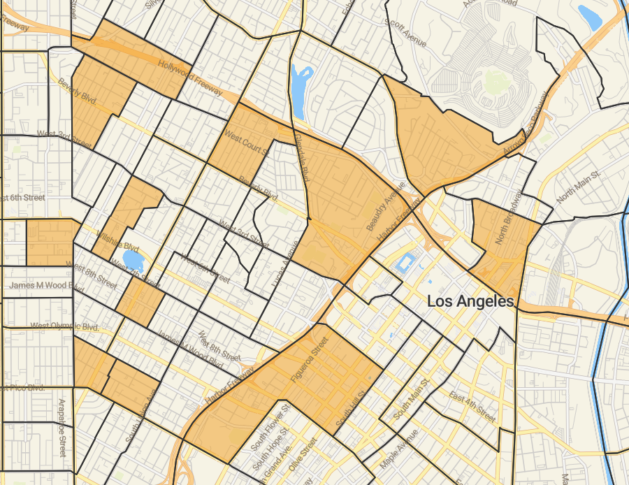
Non-contiguous Assembled Custom Regions: Assembling do not have contiguous borders or borders which do touch each other. In the example, a user can get aggregated data for specific census tracts throughout downtown Los Angeles, CA. The user is able to individually select each census tract to create a custom region.