Boundaries
![]() Updated
by
PolicyMap
Updated
by
PolicyMap
Users can overlay any of the boundaries used in PolicyMap by using the Boundaries menu above the maps.
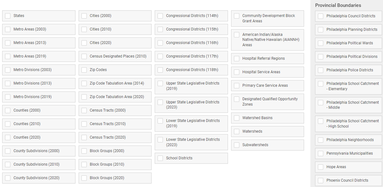
Boundaries are available based on your zoom level. The closer you are zoomed in, smaller area boundaries (zip codes, census tracts, blockgroups, etc) will be available to display.
PolicyMap has loaded a variety of local or provincial boundaries. Subscribers can add any of these boundaries to their Boundaries menu. See a list of available boundaries here: Provincial Boundaries.
Boundaries can be customization using the boundaries legend.
- Use the
 to remove the boundary label.
 - Line Style changes from solid, to dashed, to dotted.
- Line Weight adjusts the width of the boundary lines.
- Color change both the boundary and label colors.